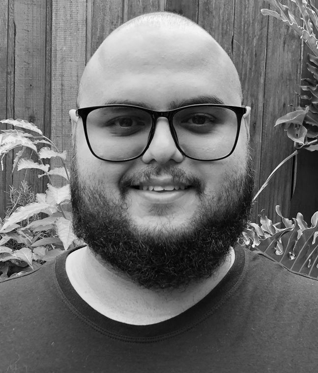
Hi, I’m Felipe Carlos 👋🏾
I’m a data engineer with a strong background in geospatial data handling and processing. I hold a master’s degree in applied computing for Earth Observation Science, where I focused on Reproducible Earth Observation Science.
I’m a full-stack developer, working as the principal maintainer of the GEO Knowledge Hub, an open-source digital repository of open, authoritative and reproducible knowledge created by the Group on Earth Observations (GEO). I’m also an active contributor of the sits R package, an end-to-end toolkit for land use and land cover classification.
In my free time, I enjoy experimenting with stable diffusion models and playing with geospatial tools and technologies, including GDAL, GeoPandas, Shapely, Rasterio, and many others.
Currently, I’m learning the aspects of the integration between Rust and Python.
